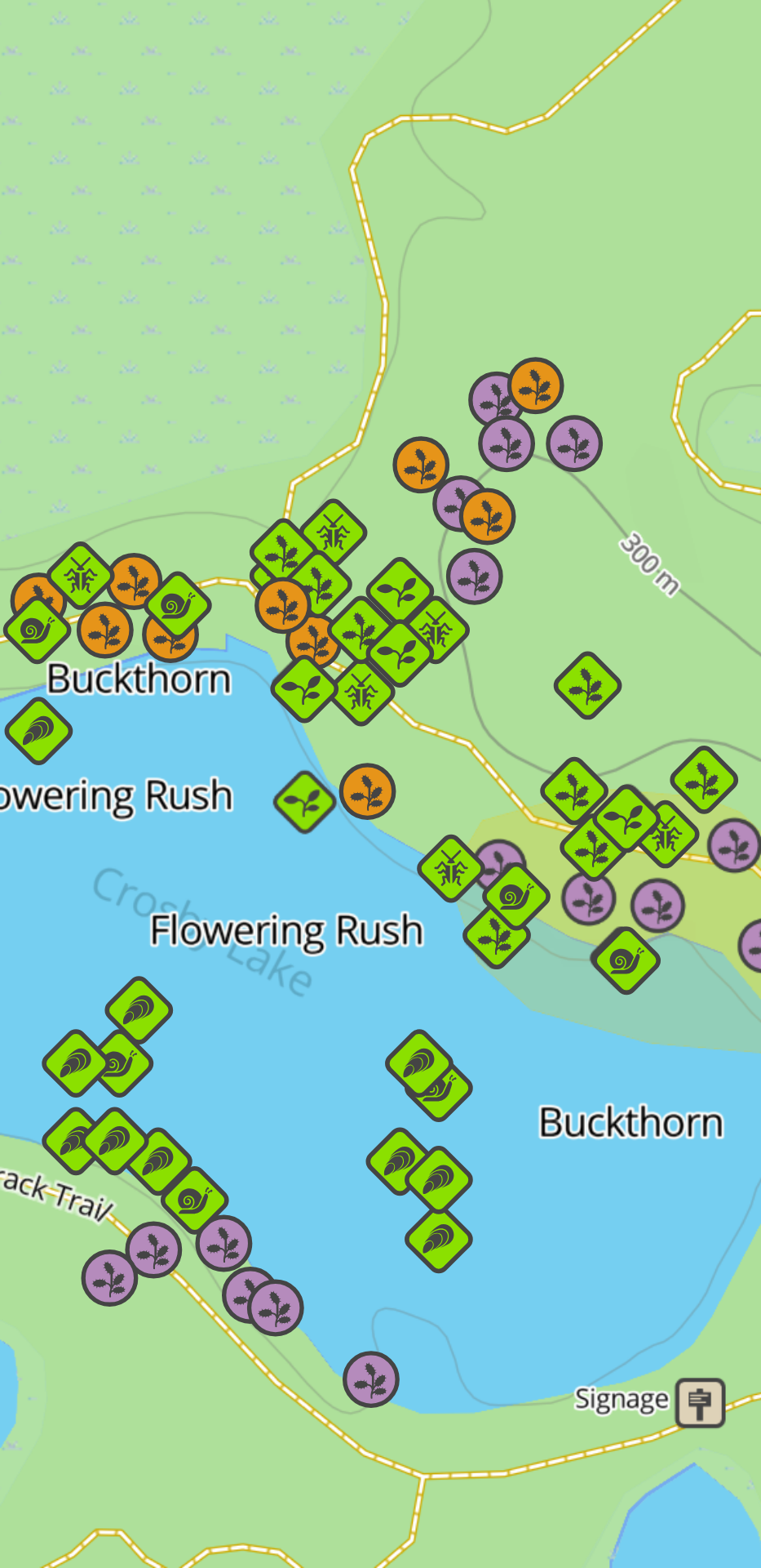
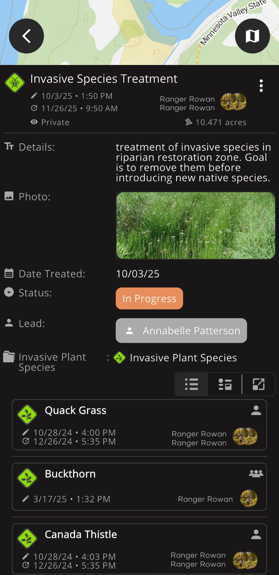
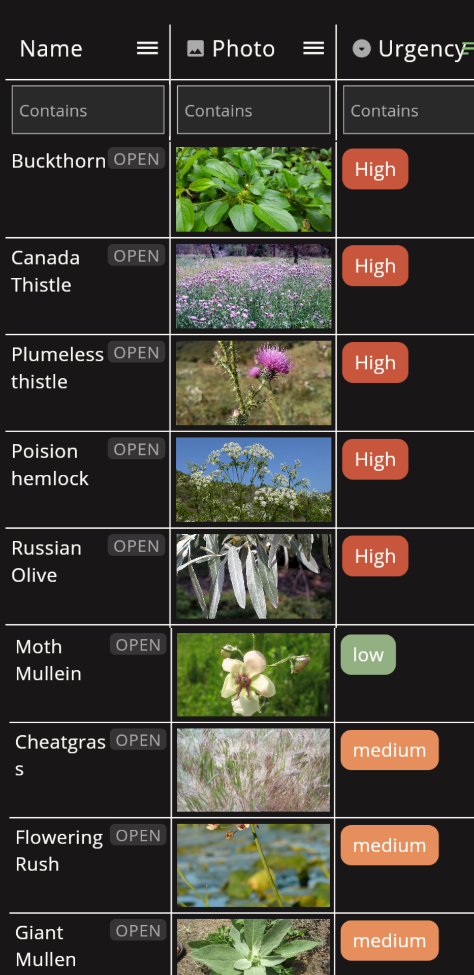
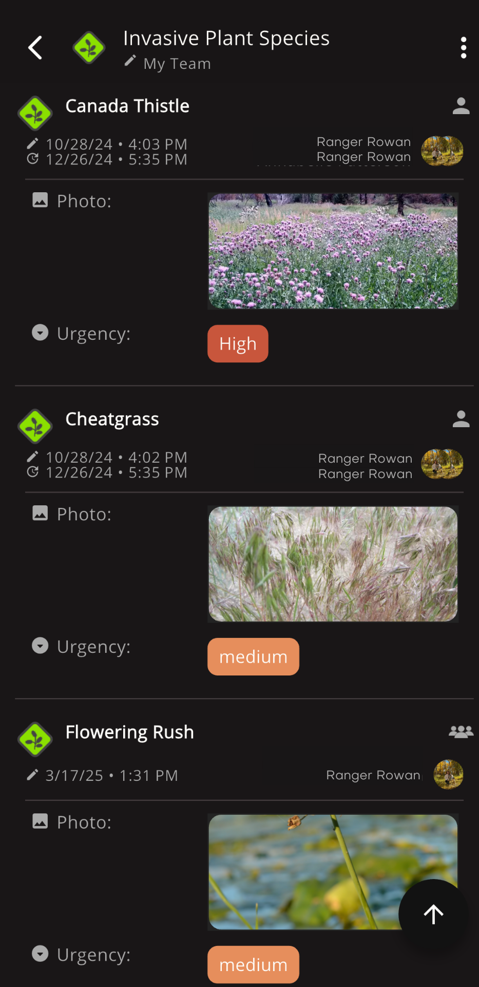
Record Infestations Accurately
Log locations, species, and severity digitally. Ensure records are complete and accessible for future planning.
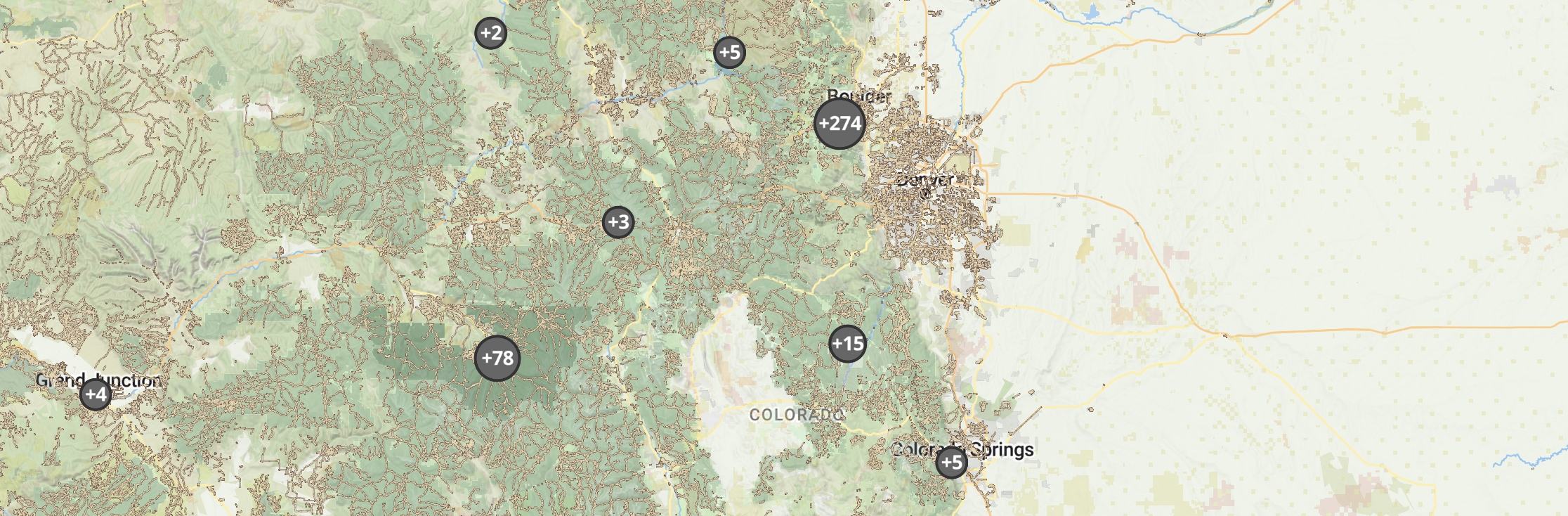
Streamline invasive species efforts with clear data and seamless teamwork.

Outway tracks infestations, treatment efforts, and progress across sites, helping teams manage invasive species efficiently and prevent spread.
In Colorado, the ever-growing threat of invasive species disrupts habitats, threatens biodiversity, and creates new challenges for land managers. The City of Lafayette, Colorado's open space teams have turned to Outway to address these pressing issues head-on.
With Outway, they map critical zones, track invasive species populations, and plan targeted removal tasks. Real-time communication across teams has streamlined efforts, allowing them to protect native plants and wildlife more effectively. The teams even went a step further and began reseeding areas with native plants that had once been overrun by invasive species. From early detection to coordinated eradication, the team at Lafayette is reclaiming their landscapes with Outway, ensuring healthier ecosystems for generations to come.
A: Absolutely! You can document detailed treatment histories for each species, including dates, locations, and outcomes, giving you a complete picture of your efforts over time.
A: By identifying high-priority zones, you can allocate resources effectively and direct your team’s efforts to the areas that need attention the most.
A: Yes! Share detailed treatment logs with others in real time to streamline collaboration and reduce redundant efforts across regions.
A: Use detailed mapping and progress tracking tools to monitor your team’s work, measure outcomes, and showcase the impact of your restoration efforts in a report afterward!